Experience Powered By Precision Technology
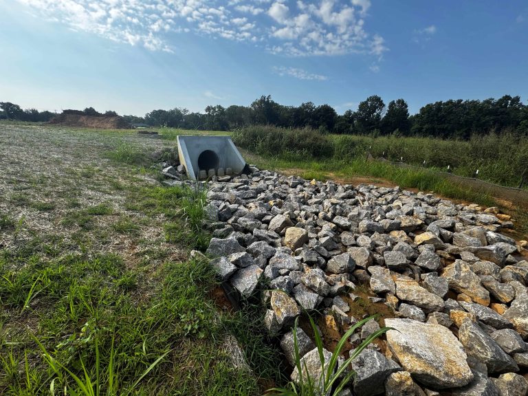
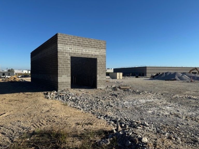
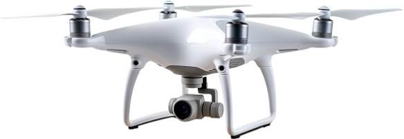
Our nimble survey crews leverage advanced GPS, robotics, and drone technology to deliver precise land surveys across any terrain or project scope. Backed by licensed surveyors, certified drone pilots, and CAD experts with diverse market experience, M2 Group provides faster, safer data collection that delivers both accuracy and value.
Services
- Boundary Surveys
- Topographical Surveys
- ALTA/NSPS Land Title Surveys
- Final Platting
- Entitlements
- Aerial Mapping
- Route Surveys
- Bathymetric Surveys
- FEMA – Elevation Surveys
- Construction Staking
- As-Built Documentation
- Soil and Septic Mapping
- Monitoring and Deformation Surveys
- Horizontal Property Regime (HPR)
- Residential Production Surveying
(Home Building)